Skip to content
Gaillac Info
Things to do

Walks & hikes around Gaillac

Trails through the vines, paths along the Tarn, the shade of the Grésigne woods: the Gaillacois is as much for walking as for sightseeing. Here are our loops — mostly on foot — with maps, distances and elevation.

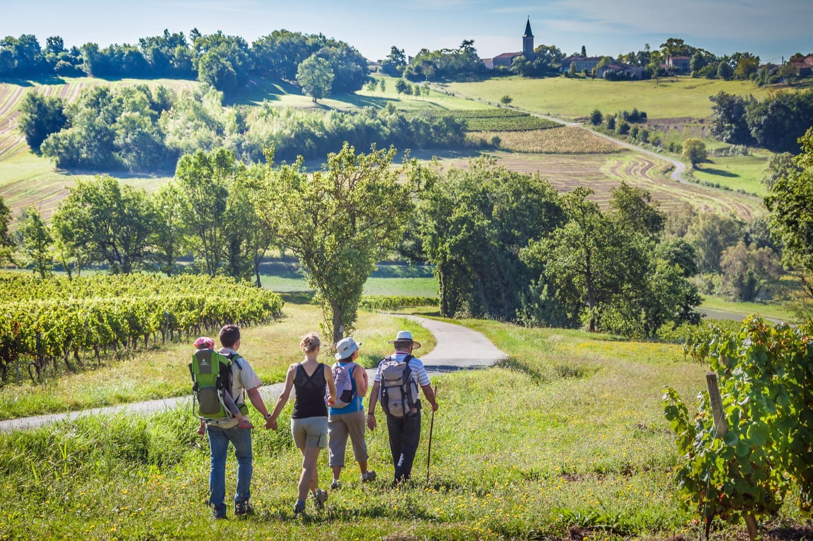
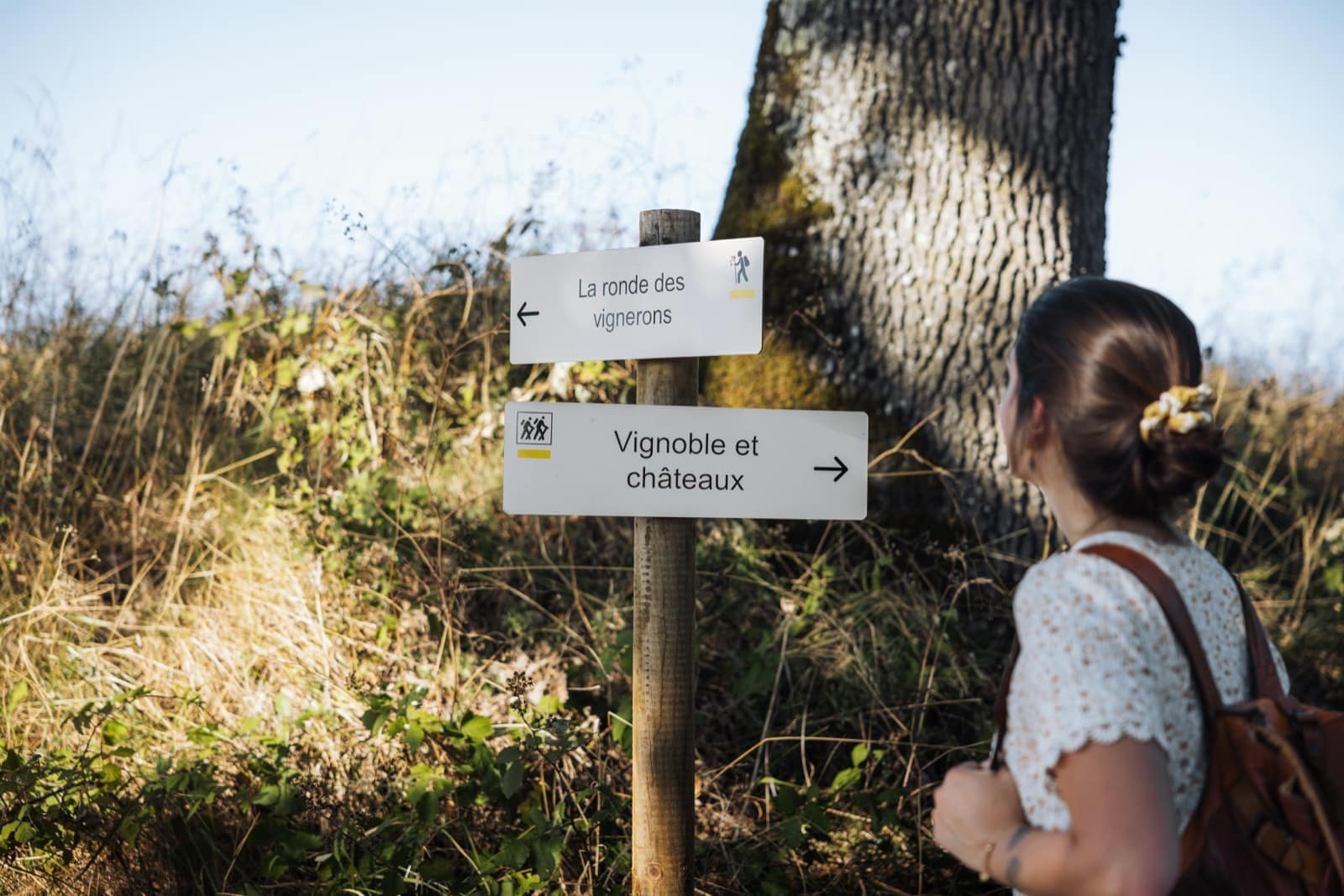
Walking in the Gaillac countryside — © Raynaud Photos Walking in the Gaillac countryside — © Raynaud Photos
On the trails

Walking the Gaillac country

Difficulty
Distance
7 walks
Lisle bastide and the banks of the Tarn
On foot Easy
5 km · 1 h 30

Lisle bastide and the banks of the Tarn

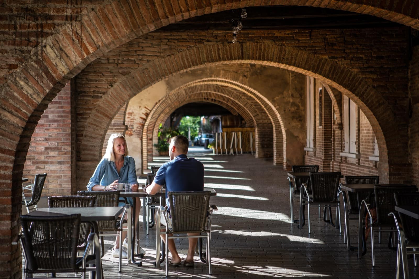
An easy, completely flat loop by the water, from the largest arcaded square in Occitania to the banks of the Tarn and the lac de Bellevue.

View the route
The Broze vineyards & châteaux trail
On foot Easy
5.7 km · 2 h

The Broze vineyards & châteaux trail

A short, easy loop through the Broze vineyards below Castelnau-de-Montmiral: rows of vines, a couple of châteaux and, on a clear day, the Pyrenees on the horizon.

View the route
The Cahuzac vineyard trail
On foot Easy
8.2 km · 2 h 30

The Cahuzac vineyard trail

A walking loop through the vineyard slopes of Cahuzac-sur-Vère, between estates, oak woods and wide views over the Tarn valley.

View the route
The Suquets loop above Penne
On foot Moderate
9.2 km · 3 h 30

The Suquets loop above Penne

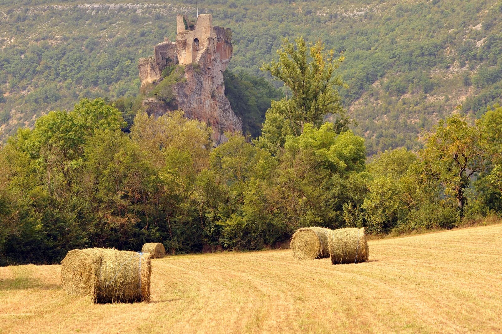
A nine-kilometre loop on the heights above Penne, between causse and river, building to the Suquets viewpoint — face to face with the castle clinging to its rock.

View the route
The Puycelsi & Grésigne forest loop
On foot Moderate
11.5 km · 4 h 45

The Puycelsi & Grésigne forest loop

Eleven and a half kilometres from Puycelsi, from the fortified hilltop down into the heart of the Grésigne, one of France's finest oak forests.

View the route
The contemplative loop at Castelnau-de-Montmiral
On foot Moderate
12.7 km · 4 h 30

The contemplative loop at Castelnau-de-Montmiral

Twelve and a half kilometres from Castelnau-de-Montmiral, from the arcaded square to the slopes of the Vère, with the Grésigne forest as a backdrop.

View the route
The Cordes-sur-Ciel heritage trail
On foot Moderate
14.8 km · 4 h

The Cordes-sur-Ciel heritage trail

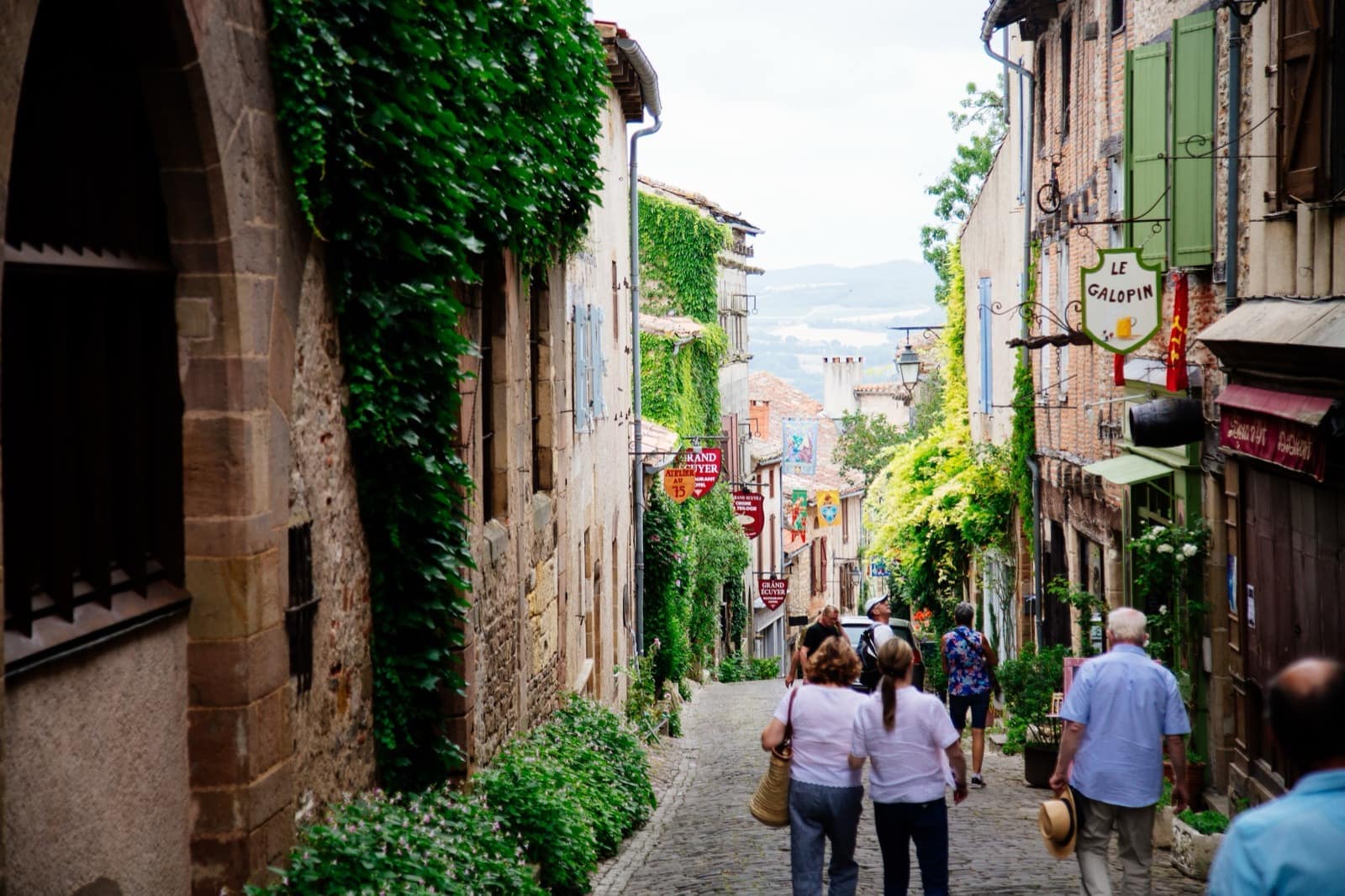
Nearly fifteen kilometres around Cordes-sur-Ciel, from the Gothic city to the villages of the Cérou — to see the town from below as you never see it from above.

View the route
Departure map

↑ ↓ to navigate · Enter to open · Esc to close