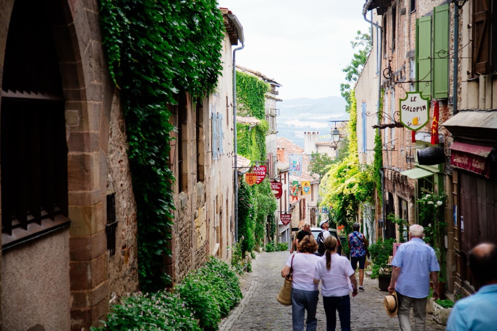
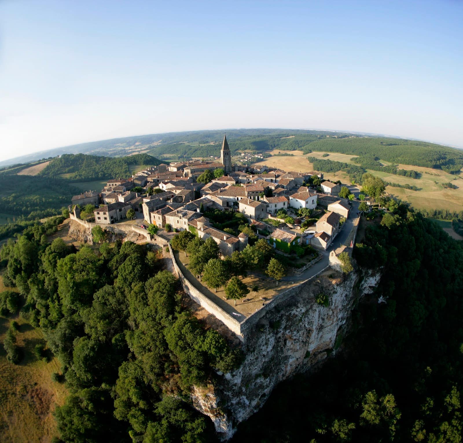
Everyone climbs up to Cordes-sur-Ciel; almost no one walks around it. That’s a shame, because the Gothic city only really makes sense seen from outside — perched on its spur, its façades stacking towards the sky. This fifteen-kilometre loop, the heritage trail, drops into the Cérou valley and climbs back over the causse, stacking up viewpoints over the town.
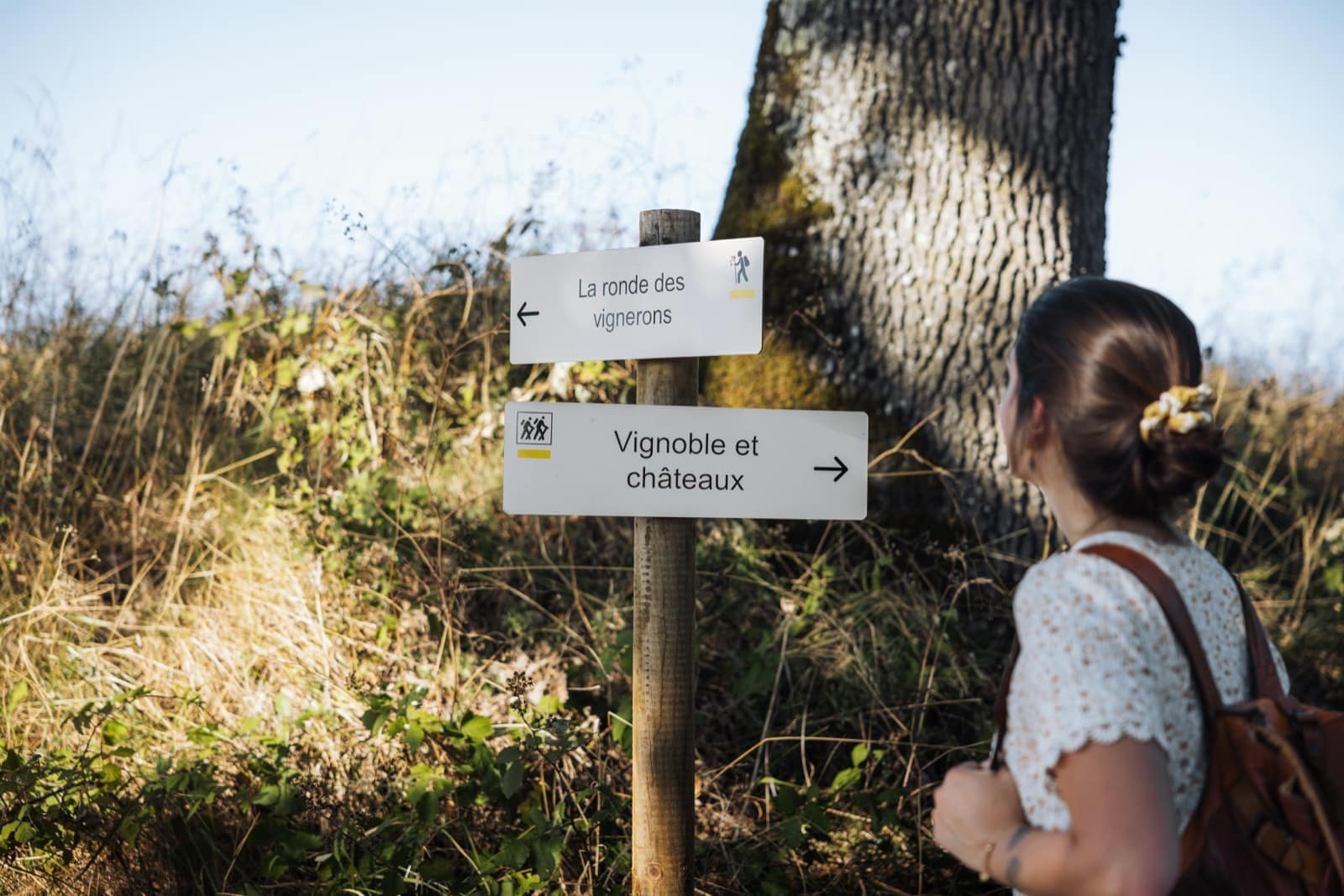
The route begins by crossing the city, from the Porte du Vainqueur to the Grand’Rue, before dropping down to Les Cabannes and its old tanneries. You then follow the greenway along the Cérou, pass an old mill and the Pont des Ânes, then the village of Vindrac-Alayrac, set on land thick with history. The return is over the causse, where the profile of Cordes reappears, sharper and sharper.
Allow four hours for 406 metres of ascent: a proper half-day, best kept for spring or autumn for the light and the cool. The route can be shortened to eleven or five kilometres by cutting through the valley. Carry water — the causse is dry and offers little shade.